Burundi has initiated the Recensement des propriétaires des propriétés et parcelles dans les centres urbains du Burundi (RPPCUB), edition 2026, a property census designed to pave the way for the government's issuance of new digital and secure land titles. This full count includes buildings and parcels located in the urban centers of Bujumbura, Ngozi, Gitega, and Rumonge. The RPPCUB serves as a key preparatory measure, providing the foundational data required for the government's broader initiative to modernize and secure land ownership documentation across these key regions. The government aims to establish a reliable and digitized property registry through this census, which covers buildings and parcels in Bujumbura, Ngozi, Gitega, and Rumonge. This extensive data collection effort is a foundational step, and the census will serve as a basis for the government's operation to issue new digital and secure land titles.
Census Objectives and Scope
The Recensement des propriétaires des propriétés et parcelles dans les centres urbains du Burundi (RPPCUB) aims to establish an inventory of land ownership in the affected urban centers, rather than assigning or withdrawing specific parcels. The RPPCUB's objective is strictly to establish an inventory of land ownership in affected urban centers, not to assign or withdraw parcels. The census operation is designed to identify current owners and determine whether properties are held by individuals, the state, private companies, or other organizations. This data collection effort will identify both individuals who already possess land titles and those who do not, facilitating the subsequent issuance of modernized titles. The operation will specifically identify individuals with existing land titles and those without, to facilitate the issuance of modernized titles. The RPPCUB's primary purpose is to modernize the existing land title management system across Burundi's urban areas. The census is solely intended to modernize the land title management system, ensuring a clear and accurate record of property ownership.
Addressing Land Disputes and Fraud
The property census is motivated by a significant number of land disputes recorded by Burundi's land titles service and its Ministry of Justice. The census is motivated by a high number of land disputes recorded at the land titles service and the Ministry of Justice, noting an urgent need for reform. The government is undertaking this initiative to reorganize the land management system, aiming to prevent the issuance of fraudulent titles or the existence of multiple titles for a single parcel of land. The government is reorganizing the land management system to prevent fraudulent titles or multiple titles for the same parcel, a common source of conflict.
The primary goal of this reform is to establish a modern system for property management capable of issuing reliable and unfalsifiable titles. These new titles are intended to be accessible remotely through digital technologies. This full overhaul of the land titling process also seeks to significantly reduce the prevalence of land-related conflicts within the country. This reform also aims to significantly reduce land-related conflicts, fostering greater stability and trust in the property system. The goal is a modern system for issuing reliable, unfalsifiable titles accessible remotely via digital technologies, enhancing transparency and efficiency.
Public Cooperation and Future Planning
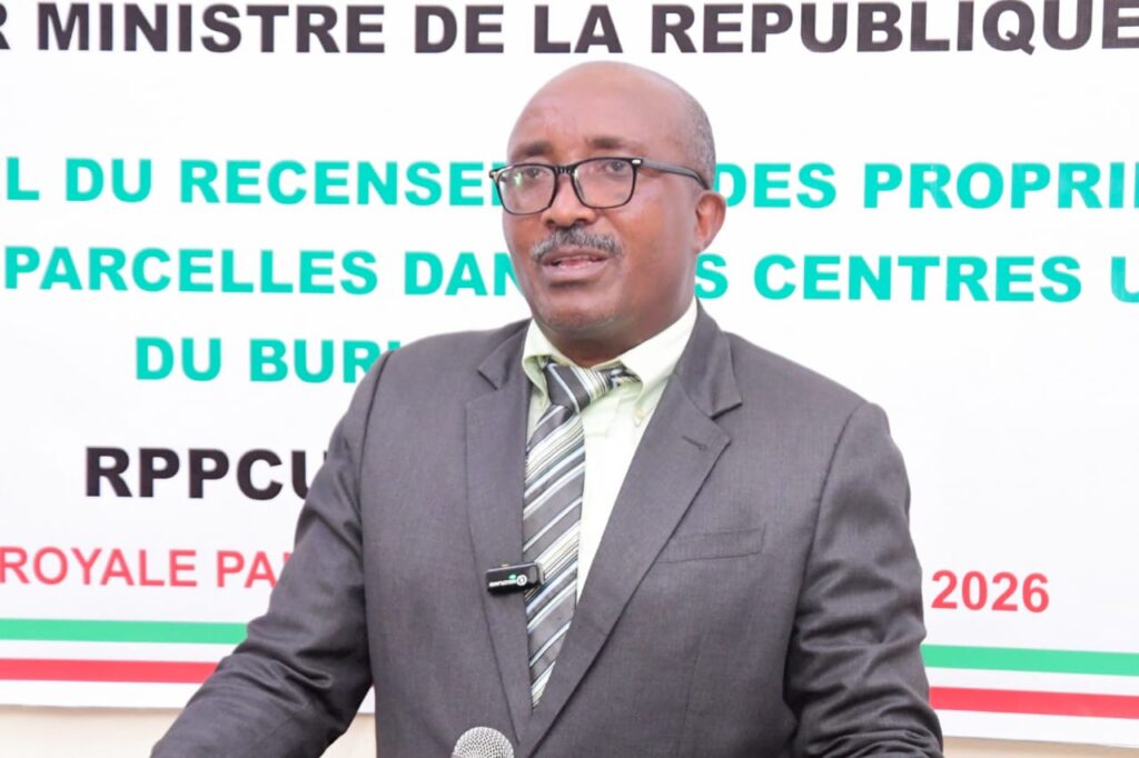
Nicolas Ndayishimiye, Director General of INSBU (Institut national des statistiques du Burundi) and secretary of the RPPCUB steering committee, clarified the census objectives on Tuesday, July 15, 2026. Mr. Ndayishimiye stated the census aimed solely at establishing a full inventory of the land situation. "This census is not intended to distribute parcels or withdraw them from their holders. Its sole purpose is to establish an inventory of the land situation," he said. He emphasized that the accurate mapping of urban development would enable the state to better plan and organize city growth. "Once we have precise mapping showing the evolution of Burundian cities, the state will be able to better plan and organize their development," Mr. Ndayishimiye affirmed. A precise mapping of urban development will enable the state to better plan and organize the development of Burundi's cities, facilitating sustainable growth. He urged the public to cooperate with census agents. "We ask everyone to maintain their spirit of collaboration, to warmly welcome our agents, and to provide them with all the information they request," he added, cautioning against fraudulent actions like registering parcels that do not belong to them. The population is invited to welcome census agents, provide accurate information, and refrain from fraud, such as registering parcels that do not belong to them, to ensure the integrity of the data collected.